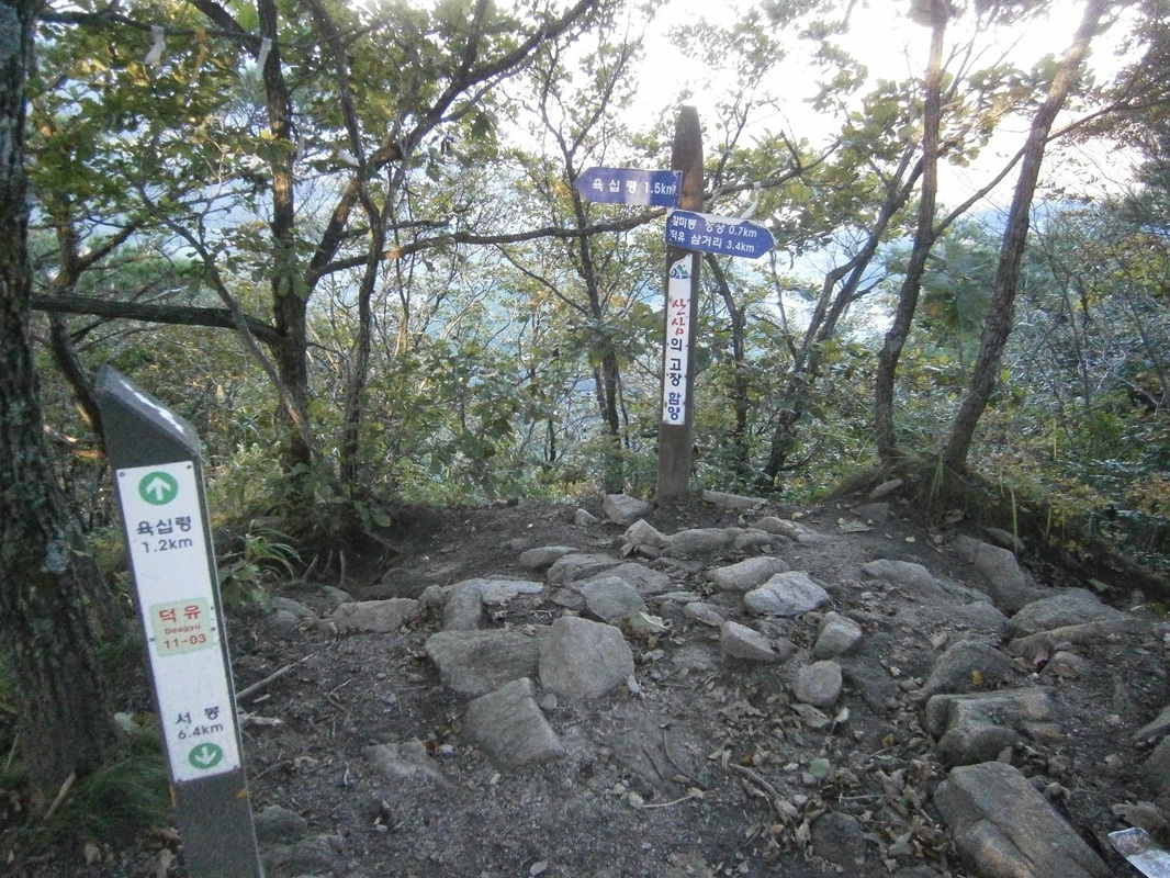
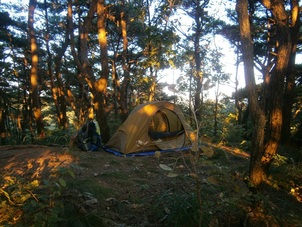
 Campsite one km or so south of Yuship Pass
As I was packing up in the morning, a solitary thru-hiker came through, another middle-aged Korean man. He’d slept at Yukship Pass and he asked me something [in Korean]. I’m about 80% sure that he asked me why I’d camped in the forest and not down at Yukship Pass. (The afternoon before, I’d asked a guy sitting in front of the closed grocery store at Yukship if I could camp there, and the guy had said “No” [in Korean], so I moved on. I have no idea who he was or by what authority he’d said ‘No’.)
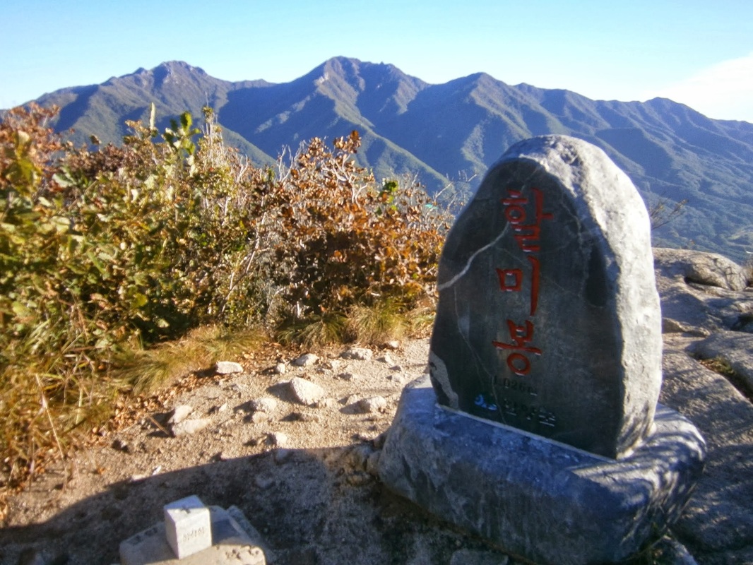
The man was soon on his way. This all happened before 6:30 AM. We were both headed north, approaching Halmi Peak (Or Halmi-bong [할미봉]) and from there entering Deogyu National Park.
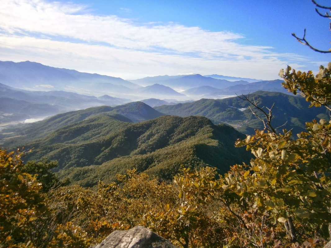
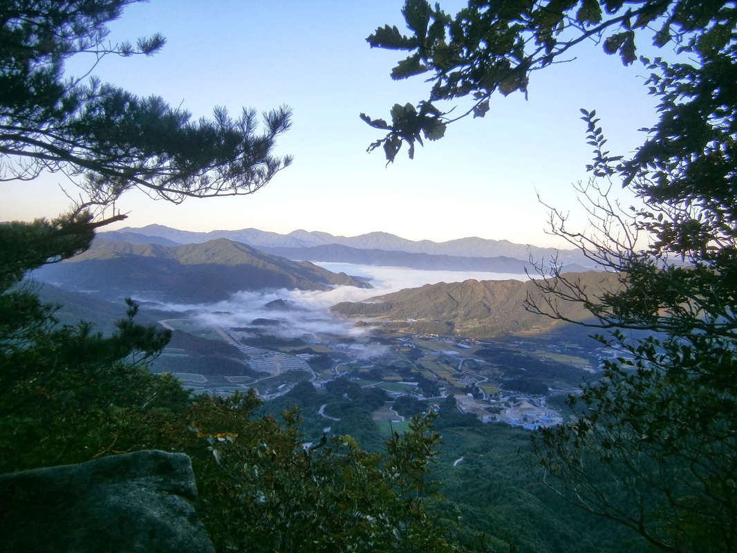
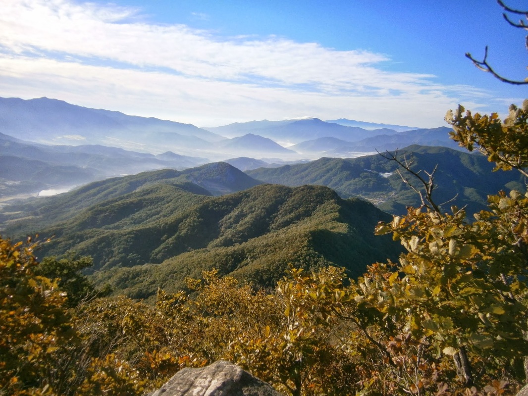
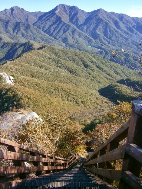
This was the view along the way:
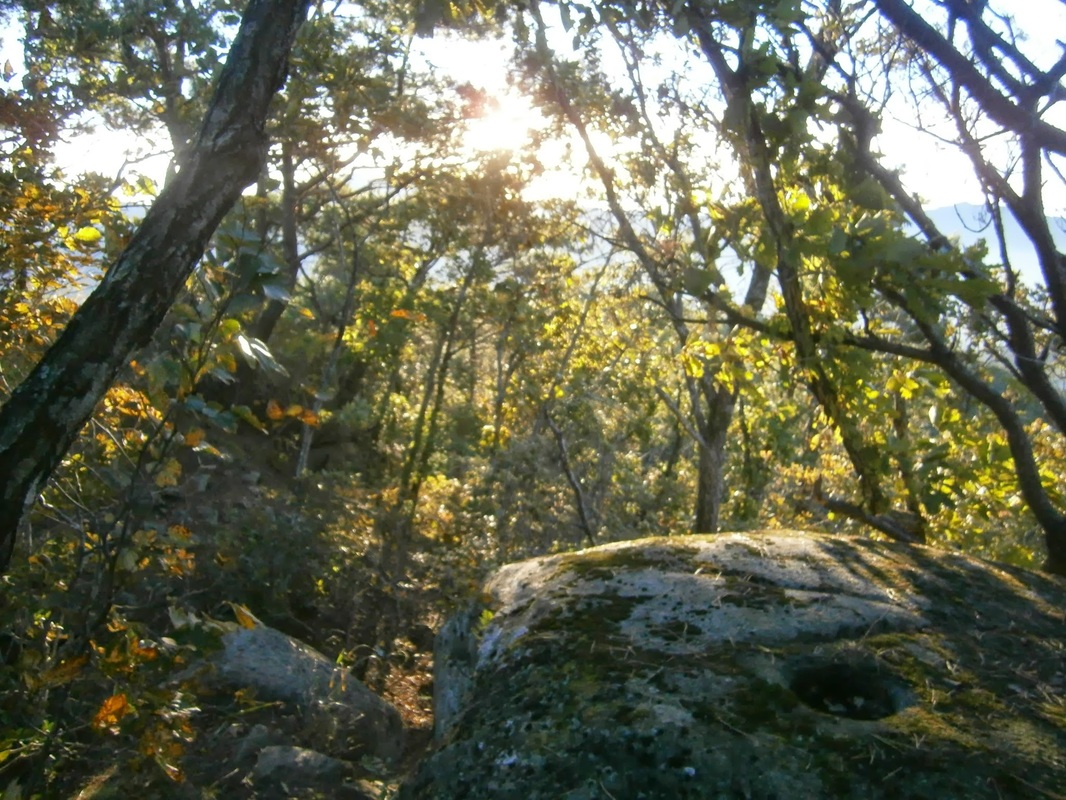
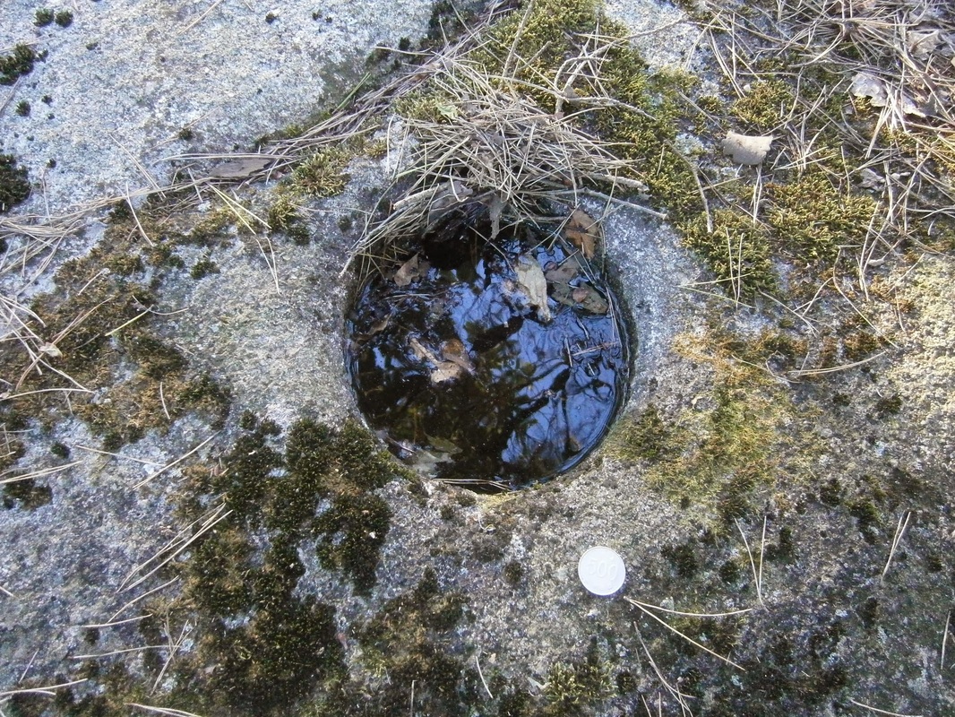
If you move a little east from the trail, you may be able to see a symmetrical, manmade hole [actually two] that has been drilled into one of the rocks on this unnamed peak, which could very well be from an iron spike driven into the peak during the years of Japanese occupation as a symbolic gesture of Japanese dominance over the sacred mountains of the Baekdu-Daegan. Then again, it could be anything . the hole is well weathered.
It seemed very unlikely, to me, that Japan did this for the reason the guidebook writers speculated on.
Naturally, I wanted to see the holes for myself. There were two. I located them, but unfortunately failed to take the time to get a good picture of the holes in proper perspective. Here is the best I could do:
I’d like to hear ideas about what these holes could be; who made them; when; why.
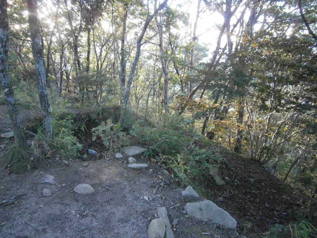
Here is my own idea: I noticed, on this section of the trail, a number of well-weathered “foxholes” (i.e., circular pits dug to provide cover for combatants firing at enemies), actually including one right next to the holes in question. They are similar in shape and size to the foxholes you can find in the Paju area near the DMZ (not to mention of WWII movies), except that these in the Deogyu Mountains look older, more time-worn, neither made nor maintained anytime in recent decades, I suppose. Here is a shot of the “foxhole” next to the mystery holes:
On the ascent up to this unnamed summit, there were several other long-given-back-nature foxholes. I saw a few more later on in southern Deogyu Mountains. The above foxhole, given different tree-cover, could’ve covered a wide “field of fire”. The other ones in this area I saw were also similarly placed.
It is reasonable to assume that whoever dug the foxholes must’ve made the circular boreholes, too, though for what purpose I don’t know. Some military apparatus must have made both the foxholes and the boreholes.
What would defensive foxholes be doing on this anonymous, seldom-visited summit in south-central Korea? There are four possibilities, as I see it:
Potential Diggers of the Holes
(1) The Japanese military could have made them (during the colonial period) before 1945, it’s true. But, why? There was no need for them to defend such a place. They never fought any hostile armies on Korean soil in WWII.
(2) The wartime ROK [South Korean] Army or U.S. Army could have made them in August 1950, when they were retreating through this area, to defend against the North Korean advance. This seems also highly unlikely, as the U.S. strategy was to conduct a long delaying action until the Pusan Perimeter. (The location of these holes is far to the west of that perimeter.) Foxholes atop mountains like this do not fit. There was no retreat from here.
(3) Could the post-war ROK Army have made them? Why? For defense seems really implausible. This area is very far from the DMZ. I suppose it’s possible the ROK-Army (or U.S. Army) made them as training. The holes look decades old.
(4) [The only theory that I find really plausible] There is only one group in the 20th century that ever defended terrain in this area, North Korean guerrillas (and/or pro-communist South Korean guerrillas). They may have dug them. Thousands famously “hid” in the Jiri Mountains, and some were also present in the Deogyu Mountains from Summer 1950 onward. They had mountain bases they. It took many major operations to “flush them all out”, some holding-out even until after the war was over. I’d speculate that they dug these foxholes to guard their mountain hideouts/bases.
Actually, related to (4), it’s also possible that the ROK Army made them during one of their many counter-insurgency operations against the guerrillas during the war. General Paik, in his book From Pusan to Panmunjom, wrote about one called “Operation Rat-Killer” in 1951 or ’52 which he led. The South Koreans may have determined that pro-communist guerrillas were active in moving through this area, so they established strongpoints ate key locations and manned them, to limit guerrilla movement. I suppose this qualifies as either (4a), or (2a), or (5).
(A monument at Yukship Pass stands in honor of the ROK soldiers who died fighting North-Korean guerrillas operating from bases in the Deogyu Mountains during the war. The BD-Trail guidebook itself notes this just a few pages earlier. This unnamed-922-meter-peak is only a mile or so north of that monument.)
The origin of the circular borehole I’m still uncertain about, but it must be connected to who was manning these foxholes, which very likely was North Koreans. Even if it was ROK counter-insurgency soldiers, it’s still proof that the North Korean guerrillas used the very paths on which I’ve been treading in south-central Korea, and their strongpoints/bases were at least nearby; that is certain. It hadn’t hit me before.
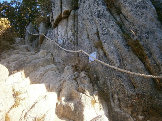
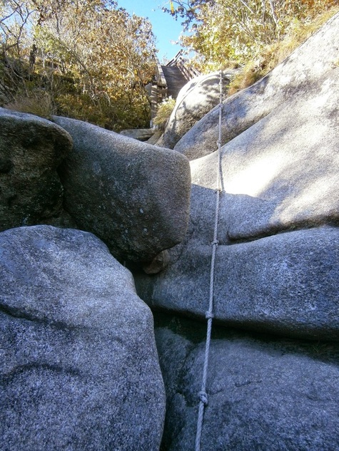
Back to the “Halmi Holes Mystery”: Having done it, I cannot imagine trying to move through the Halmi Peak area without the handiwork of the Korean Forest Service — i.e. the staircase and ropes, the above being two examples of many in that area. I think it would’ve been near-impossible in the 1950, and almost-definitely-impossible as a large military operation with heavy equipment to move through the area. The difficulty of the terrain would’ve made it a good choice for a guerrilla base, which leads me to favor the “North Korean Guerrilla” idea rather than the “ROK Counter-Insurgency” idea. Only a narrow southern avenue of approach would’ve needed to be defended, which is the way all the foxholes faced.
(I’d like to think this is the solution to the Halmi Hole Mystery, but in fact I’m just speculating, too, and I’m willing to hear any other opinions.)
Here is somebody else’s post about long-abandoned foxholes in South Korea: Nojeok Hill: My view from the Top — the Berlin Wall, the Korean War, Foxoles, and Korean Unification.
[I wrote this in a PC Room on the morning of October 10th in Geochang, where I was forced to return after a typhoon closed Deogyusan National Park.] [Updated: October 16th]

